McCloud Falls
California
🚗 Check available routes: 🌋 Crater Lake → San Francisco Scenic Road Trip
📍 Location: Near McCloud, Northern California
🗓️ Best time to visit: May through October
⏳ Recommended stay: 2–4 hours
🌐 Official website: U.S. Forest Service — Upper McCloud River Loop
🏞️ About McCloud Falls
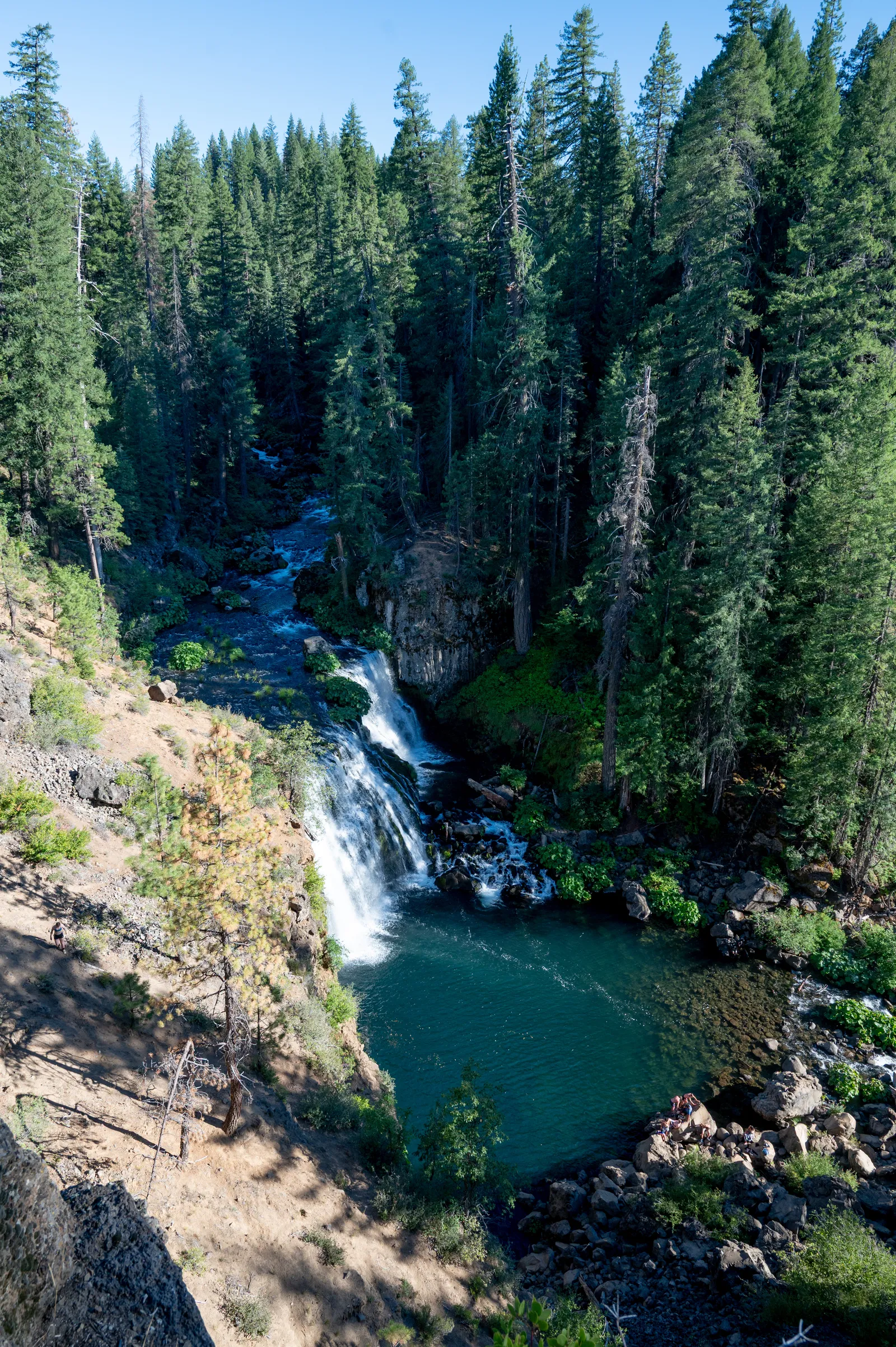
McCloud Falls is a series of three waterfalls—Lower Falls, Middle Falls, and Upper Falls—along the Upper McCloud River in the Shasta–Trinity National Forest.
The river cuts through dark basalt lava formations created by the volcanic history of nearby Mount Shasta. Each waterfall has its own overlook and parking area, so visitors can either drive between them or follow the scenic river trail connecting all three.
📊 Trail Metrics
| Metric | Details |
|---|---|
| 🥾 Distance | Approximately 3.5–4 miles round trip |
| 📈 Elevation gain | Approximately 500 feet |
| ⛰️ Maximum elevation | Approximately 3,600 feet |
| ⏱️ Typical hiking time | 2–3 hours |
| 🔁 Route type | Out and back |
| 🟢 Difficulty | Easy to moderate |
| 🎟️ Day-use fee | None |
| 🐕 Dogs | Allowed; leash required in developed areas |
The Mount Shasta Trail Association route guide lists the full three-waterfall route at about 4 miles round trip with 500 feet of elevation gain. The Forest Service Lower Falls page describes the round trip as approximately 3.5 miles.
✨ Why Visit
McCloud Falls is especially known for:
- 💧 Three waterfalls accessible in one visit
- 🌲 Shaded forest and river scenery
- 🌋 Basalt cliffs and volcanic geology
- 📸 Easy waterfall photography
- 🥾 A family-friendly river trail
- 🧺 Picnic areas near Lower Falls
- ♿ ADA-accessible overlooks
- 🏕️ Nearby camping at Fowlers Campground
📅 Best Time to Visit
🌿 May–June — Green and Powerful
Late spring usually offers strong river flow, cooler temperatures, and greener scenery.
Developed campgrounds generally begin opening around May 15, depending on conditions.
☀️ July–September — Best Overall Access
Summer provides the most reliable road and trail access.
Arrive early on weekends because parking areas can become crowded. Wildfire smoke may affect visibility and air quality.
🍂 October — Fall Color
October often brings cooler temperatures, fewer visitors, and fall color along the river.
❄️ November–April — Winter Access
The waterfalls remain scenic in winter, but snow can close the McCloud River Loop Road. Forest Service gates are normally closed from November 1 through April 1, and snowshoes or skis may be required.
Check current Shasta–Trinity National Forest conditions before traveling.
🚗 Access
The falls are approximately 5 miles east of the town of McCloud.
From Highway 89, follow signs for Fowlers Campground and Lower Falls, then continue onto McCloud River Loop Road.
Each waterfall has a separate parking area and overlook. The full hike begins near the staircase beside the Lower Falls overlook.
⚠️ Water Safety
The McCloud River is cold, fast-moving, and changes throughout the year.
Visitors should:
- Avoid diving or jumping from rocks
- Never assume the water is deep enough
- Watch for submerged boulders
- Keep children close
- Stay away from strong currents
- Follow posted swimming restrictions
There is no sanctioned trail to the base of Upper Falls.
🐾 Pets and Accessibility
Pets are allowed unless otherwise posted and must be on a leash no longer than 6 feet in developed areas.
The section between Lower Falls and Fowlers Campground is paved and ADA accessible. All three waterfall overlooks include accessible features.
✅ Before You Go
Check current official information for: